

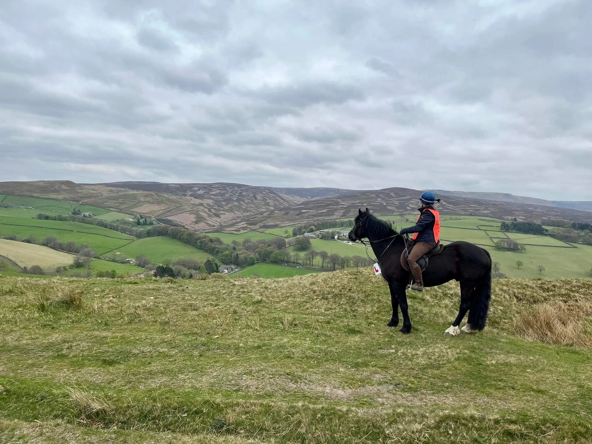
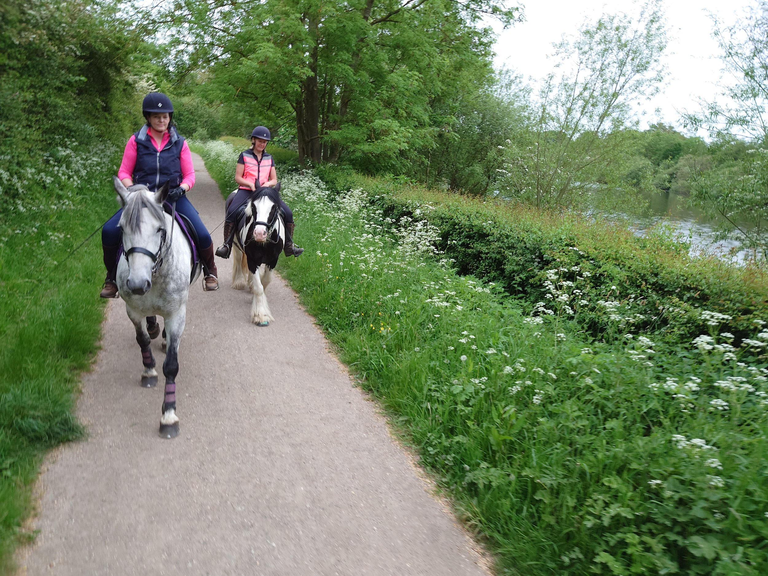
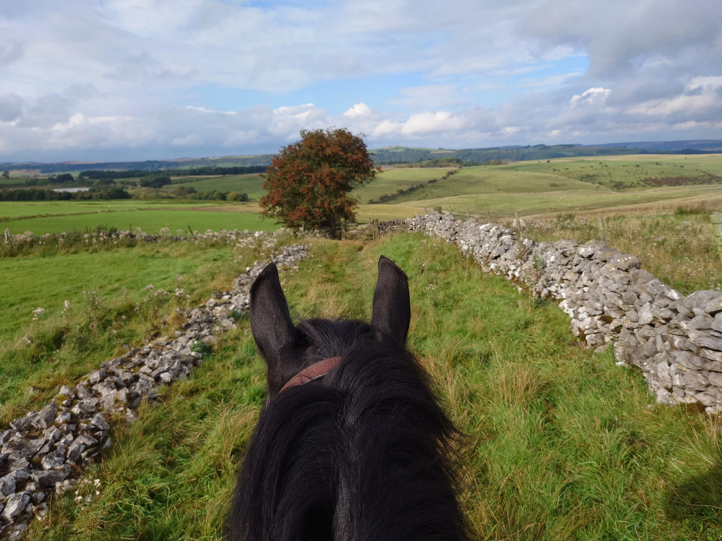
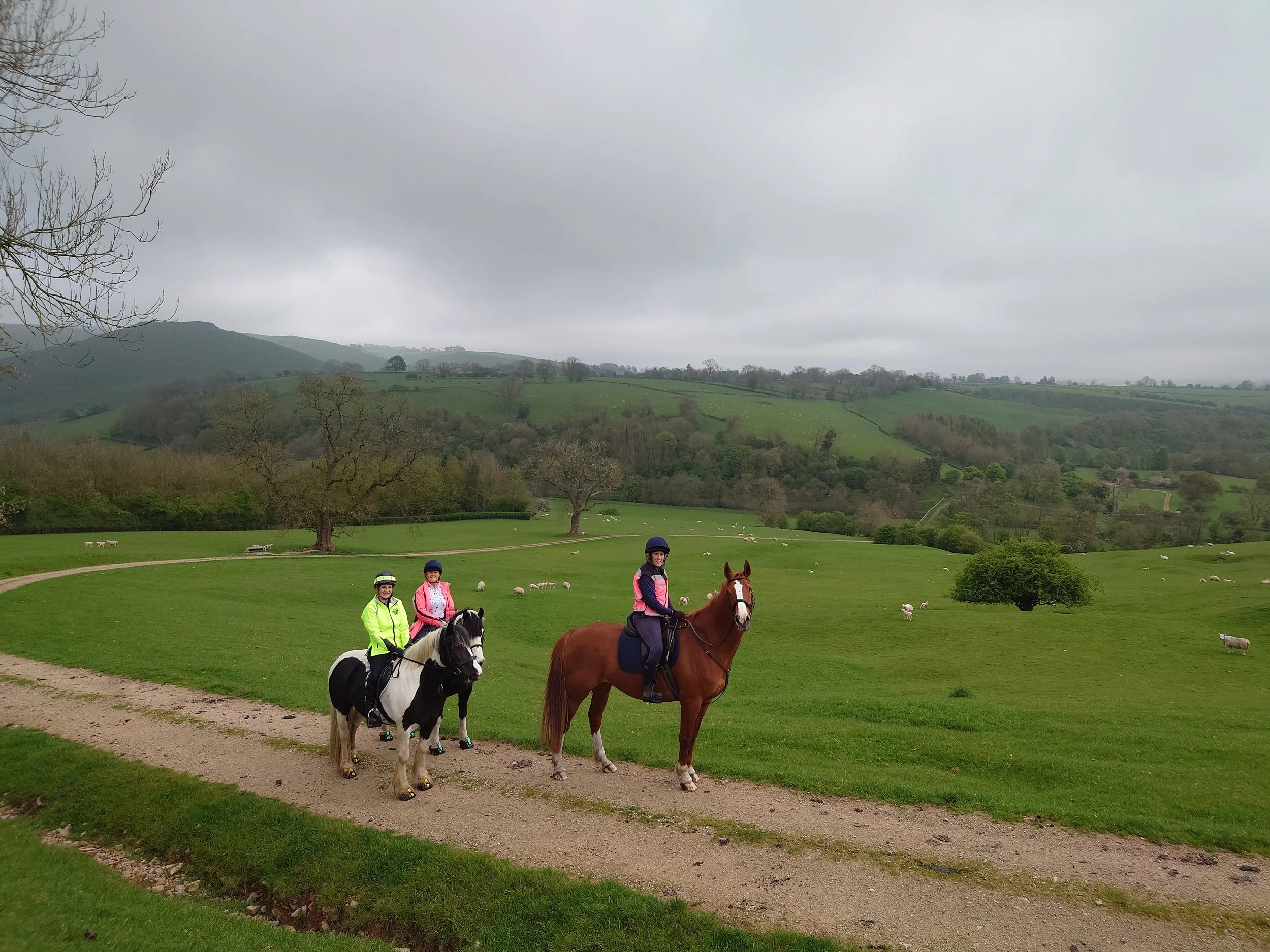
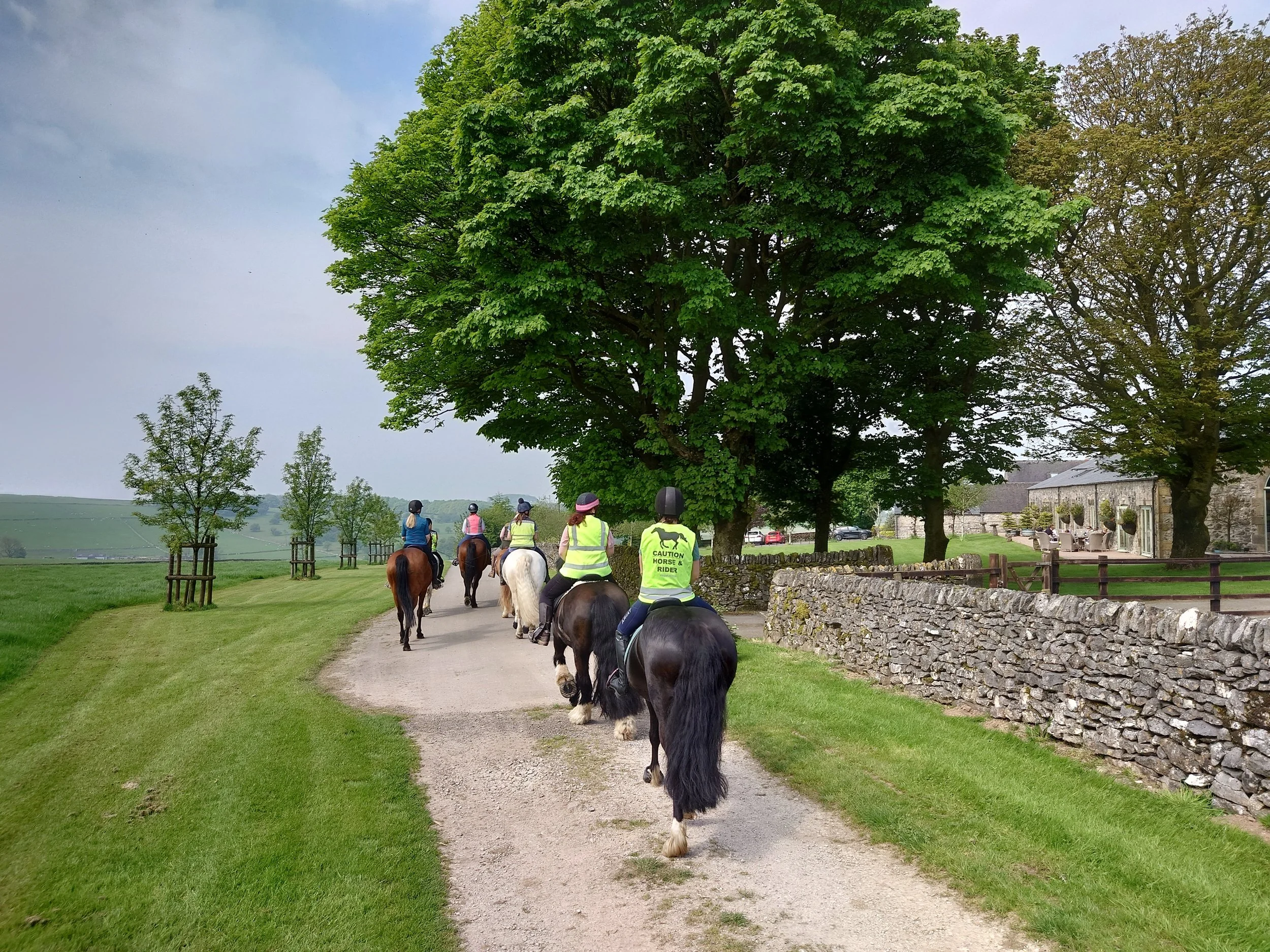
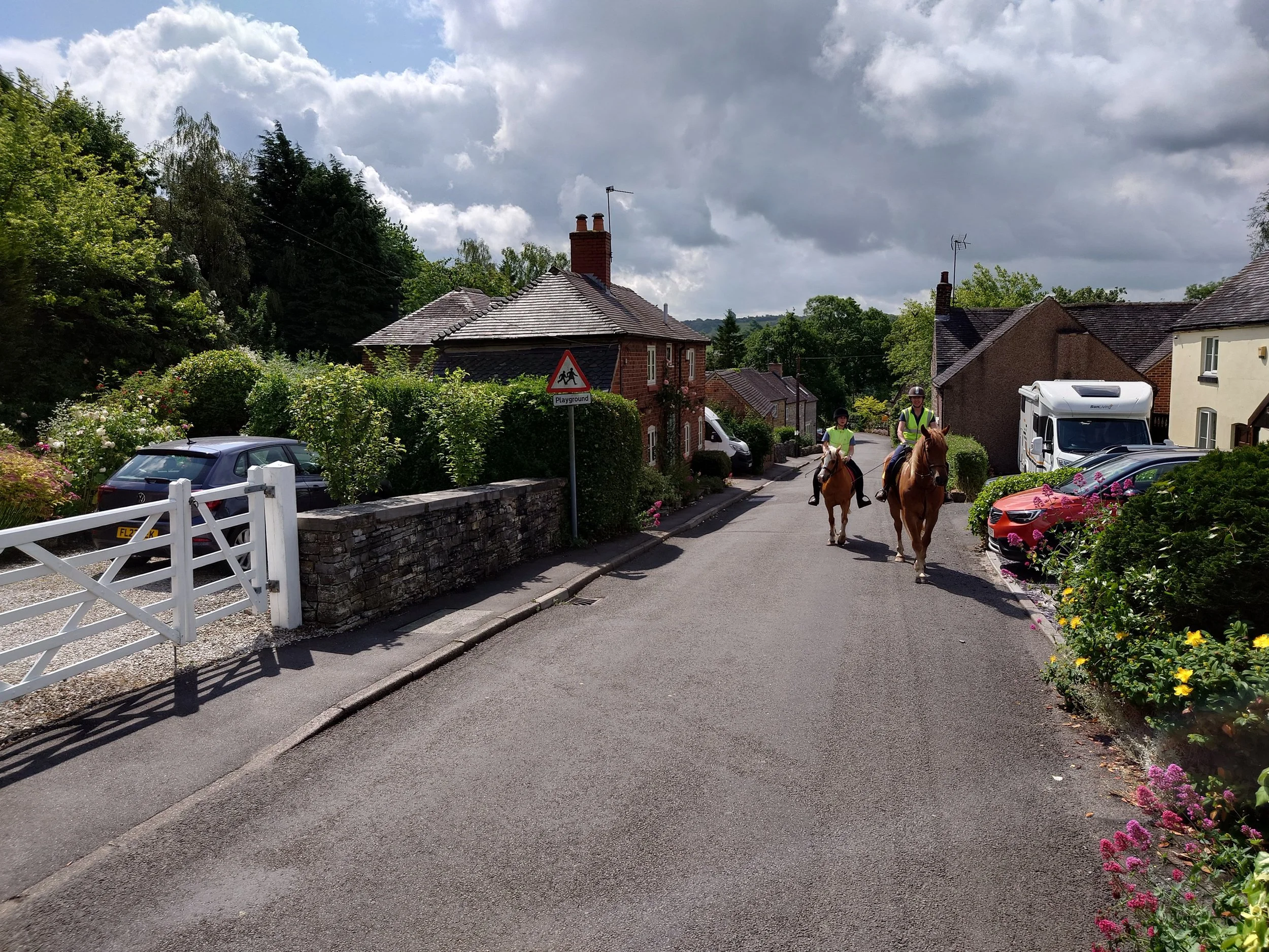
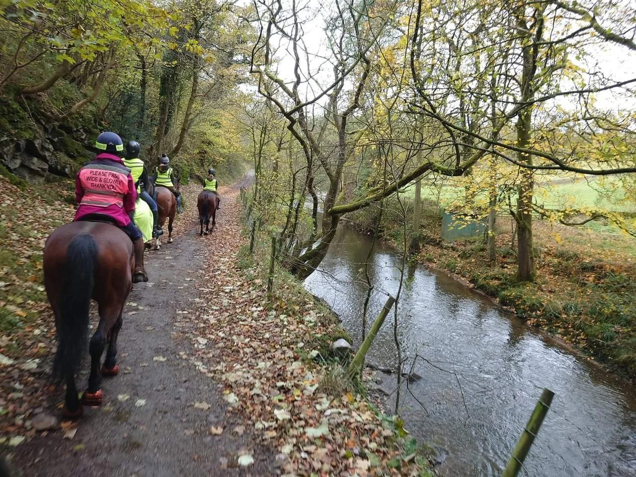
Ride Routes
Here you will find detailed information on all group ride routes. Group rides accomodate a maximum of 6 horse and rider combinations and places start at £38.50. Discounted Ride Bundles are also available to buy. Many routes are available for private or 1:1 bookings but to view the definitive list and prices for this click HERE.
Ride set out times vary by season. During the Autumn/Winter a later 11am set out is usual to allow for morning frosts to clear and to ensure we ride in the best of the daylight. Spring/Summer rides tend to be scheduled for either 9.30am or 6pm in order to avoid the worst of any heat or flies and to facilitate parking before car parks become crowded. April and September are transitional months and there are odd exceptions so please do check the start time before you book.
Classic Routes
These routes run from April-October and offer a good mix of lovely views, points of interest and enjoyable canters
15 Routes available, scroll left or right
-
![Chatsworth Estate]()
Chatsworth Estate
Approx Distance: 10 miles. Moderate difficulty.
Parking: Bakewell ABC, suitable for all transport types. Pay and Display max charge £6 for all day, Pay by phone app only. Not available outside organised rides.
Description: This route takes in scenic bridleways which cross both the Haddon and Chatsworth Estates, Green lanes and a small amount of roadwork. This creates a very varied ride with stunning woodland paths, sections of open parkland and the picturesque village of Edensor as particular highlights. The main attraction is of course the fabulous views across to Chatsworth house with the deer roaming the parkland. There are some good opportunities for canters if all riders are happy to do so.
Worth noting:
This route includes some steep climbs up through woodlands where trails are narrow and sometimes rocky.
Bridleways pass through pasture land where sheep and cattle may be grazing. There are also deer free ranging in the Chatsworth parkland.
There are several narrow gates along the route.
A small amount of roadwork is necessary on quiet country lanes.
-
![Pilsbury Castle]()
Pilsbury Castle
Approx Distance: 11 miles. Largely easy going.
Parking: Parsley Hay Peak NP car park. Suitable for all transport types. Pay and Display max charge £7 for all day. Coins, card or app payments accepted. Toilets and refreshments are available on site. Available to use at any time.
Description: This route offers outstanding views throughout. Utilising the top section of the High Peak Trail and small country lanes the route also includes bridleways which pass close by the remains of Pilsbury Castle's motte and baileys. With a section of open grassland there are good opportunities to canter if all riders are happy to do so.
Worth noting:
The High Peak Trail is multi-user and it is likely walkers with dogs and cyclists will be encountered.
Bridleways crossing grassland are likely to contain cows and sheep.
Some roadwork is necessary on quiet country lanes.
One section of bridleway passes close by a working quarry.
Trails and tracks are finished with limestone hardcore which may be stony.


Year Round Routes
These routes are carefully selected for good winter time riding, avoiding deep or muddy going whilst still offering canter opportunities and enjoyable views.

20 Routes available, scroll left or right
-
![Monsal Tunnels]()
Monsal Tunnels
Approx Distance: 10 miles. Moderate difficulty. Largely level, but quite stony going. Two steep sections.
Parking: Miller’s Dale Peak NP car park. Only suitable for trailers and compact lorries. Vehicles over 10’3’’ would need to access from Winkhill to avoid a low bridge. Pay and display max charge £7 for all day. Coins, card and app payments accepted. Toilets and refreshments are available on site. Available to use at any time.
Description: This route sets out and returns along the Monsal Trail, taking in multiple tunnels along the way. Branching off the trail, the route takes to bridleways and green lanes which offer far reaching views across to Monsal Head and beyond. To create a circular route, a section on country lanes connects via a steeply descending bridleway back to the trail. During wet months the majority of this ride is on tracks with a mixture of surfaces but there are some opportunities to have a canter if all riders are happy to do so. During the drier months a grassland dale section can be used.
Worth noting:
The Monsal Trail is a multi user trail so cyclists and walkers with dogs are likely to be encountered.
Sections of the route are steep (both up and down) and quite rocky so a relatively fit horse and balanced rider will be needed. It is suggested that riders dismount for the descent back to the Monsal Trail. Should it be wet and deemed too slippery to use this bridleway, the route will be shortened to 8.5 miles and the return to the car park will be made using a short section of a B classification road. HGVs may be encountered in this case.
There are often cows in fields adjacent to this route and it may be necessary to pass through pasture where they are grazing.
Ordinarily there will be some road work on small country lanes.
-
![Black Rocks]()
Black Rocks
Approx Distance: 6 miles. Easy going throughout
Parking: Middleton Top car park horsebox section. Suitable for all transport types. Parking charges for trailers/vehicles over 2540kg are £9 for up to 4 hours, change only at machines. Card payments can be made at the cafe when open, during off season this is weekends only. Toilets are available on site. Available to use at any time.
Description: This slightly shorter route is ideal for those whose horses are building fitness. It incorporates what, is in my opinion, the most scenic portion of the High Peak Trail with commanding views across the valley to Matlock and beyond. Taking in part of the Midshires way and bridleways across open fields where there is an opportunity to canter if all riders are happy to do so, it's a truly stunning route.
Worth noting:
The High Peak Trail is a multi-user trail and you will encounter bikes and walkers with dogs.
Bridleways on this route cross farmland which may contain livestock such as Cows and Sheep.
There are some small sections of roadwork on this ride.
The route passes over some bridges on the trail with reasonable elevation.


Something a bit more laid back
These routes, available year round, are geared towards those who wish to take it a bit easier and enjoy the scenery. Here you will find some shorter routes, walk and trot only routes with predictable going and totally off road routes which may offer a bit of canter.

9 Routes available, scroll left or right
-
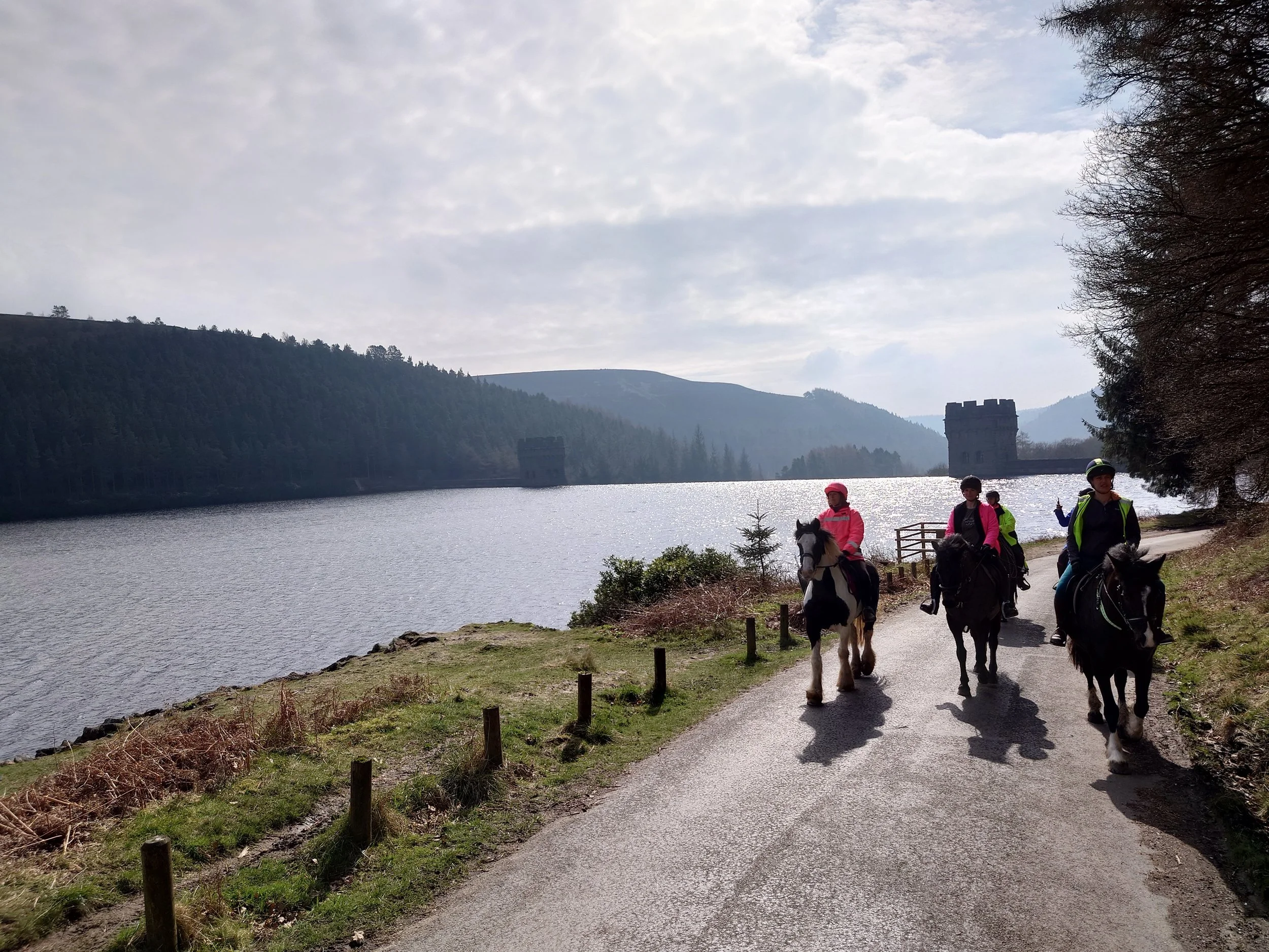
![Upper Derwent Valley]()
Upper Derwent Valley
Approx Distance: 12 miles. Easy going throughout.
Parking: Bridge End car park. Suitable for all transport types. Max charge £4 for all day payable at the machine which accepts coins only. Toilets are not available at this car park but there are facilities at the visitor centre. Available to use at any time.
Description: This gently undulating route offers a sightseeing tour around the Derwent and Howden reservoirs. Take in the iconic Dams which were used to test the Dambusters bouncing bombs and enjoy the peace and tranquility of the surrounding countryside with a mixture of moorland vistas, woodland and waterside views. This route is entirely on surfaced going utilising reservoir access lanes and surfaced bridleways and as such is a purely walk and trot route.
Worth noting:
Access lane sections of the route are shared with vehicular traffic. This may include occasional buses or motorhomes.
The entire route is multi-user so expect to meet cyclists, runners and walkers with dogs or buggies.
Livestock may be encountered alongside the route.
The route includes the crossing of a stone bridge which has low sides. This can be avoided with a ford option instead.
Due to continued tree felling works throughout the valley it is possible there may be chainsaw noise and movement of machinery.
-
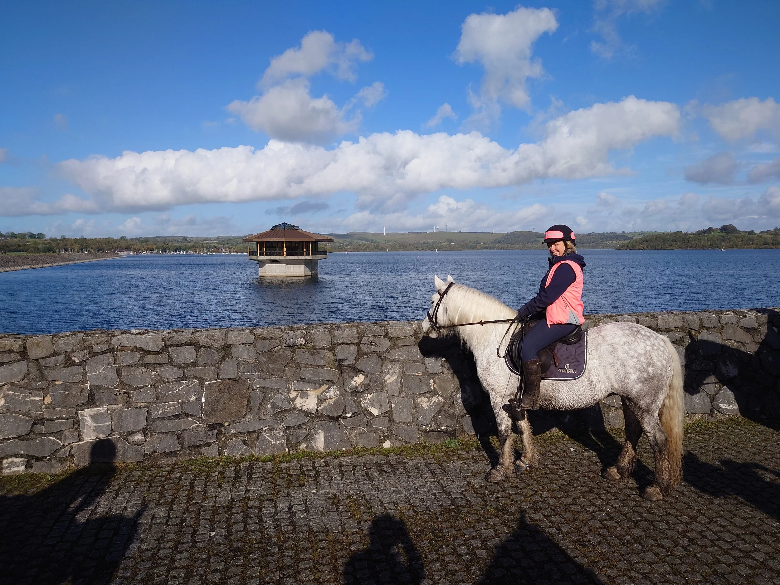
![Carsington Water Circular]()
Carsington Circular
Approx Distance: 9 miles. Easy going throughout.
Parking: Carsington Water main visitor centre car park. Suitable for all transport types. Max charge £6 for all day payable on exit by card, cash, app or online. Toilets and refreshments available on site. Available to use at any time.
Description: This entirely off road route around Carsington Water reservoir is a lovely ride at any time of year. Hardcore finished trails throughout make for predictable going with some manageable undulations. There are expansive views across the water from any number of vantage points around the circuit. The route does offer some canter opportunities, either as a group, or a peel off is available in places if some riders would like to canter and others would prefer not to.
Worth noting:
This is a multi-user trail so expect to meet cyclists and walkers with dogs or pushchairs. Off road wheelchairs are also sometimes encountered.
There may be livestock beside the route in places.
There is a water crossing on this route. It can be avoided but this increases mileage and necessitates use of a quiet road.
The route is entirely off road but sections of the trail travel alongside a fairly busy road behind some natural screening. Two road crossings are necessary.


Novice and Training Routes
Novice routes are specifically designed to provide just the right level of challenge for a young horse and are equally suitable for less experienced or nervous riders with options available for both children and adults. If you’d like a learning experience training for opening gates on your horse is the perfect choice.
7 Routes available, scroll left or right
-
![Upper Milltown Loop]()
Upper Milltown Loop
Approx Distance: 5 miles. Easy going with some hill work.
Parking: Carsington Sheepwash car park. Suitable for all transport types. Max charge £4 for all day payable on exit by card, cash, app or online. Available to use at any time.
Description: Utilising a secluded loop off the Carsington circular trail this route takes a leisurely meander uphill through the woods before reconnecting to the main waterside path. There is a fabulous view across the reservoir from the top of the hill. The route sets out and concludes close by the water, or a diversion into the pretty villages of Hopton and Carsington can be taken instead.
Worth noting:
Carsington is a multi-user trail so expect to meet cyclists and walkers with dogs or pushchairs. Off road wheelchairs are also sometimes encountered.
There may be livestock beside the route and there may be sheep in one field which the route passes through.
The route can be entirely off road but sections of the trail travel alongside a fairly busy road behind some natural screening. The village detour is on small roads.
-
![Hognaston Village Novice]()
Hognaston Village 'Novice' Route
Approx Distance: 4 miles. Easy going throughout.
Parking: Carsington Water main visitor centre car park. Suitable for all transport types. Max charge £6 for all day payable on exit by card, cash, app or online. Available to use at any time.
Description: A short loop from Carsington Water using part of the reservoir trail and taking in the pretty village of Hognaston. This is an ideal route for youngsters or horses lacking fitness for a longer ride. There are a few things for novice horses to experience such as a ford, sheep and a little bit of road. There are options for a canter either on a more enclosed track or to try this in a more open space. Equally these can be avoided with surfaced tracks available right round.
Worth noting:
The Carsington trail is multi-user and as such walkers with dogs or buggies and cyclists are likely to be encountered.
The route passes through an area where sheep are grazing and passes fields which may contain cows.
There is a water crossing on this route
There is a short section of road work
Trails are hardcore surfaced and can become stony in dry conditions


Book Onto a Group Ride
Click below to see the routes currently scheduled as group rides and book.